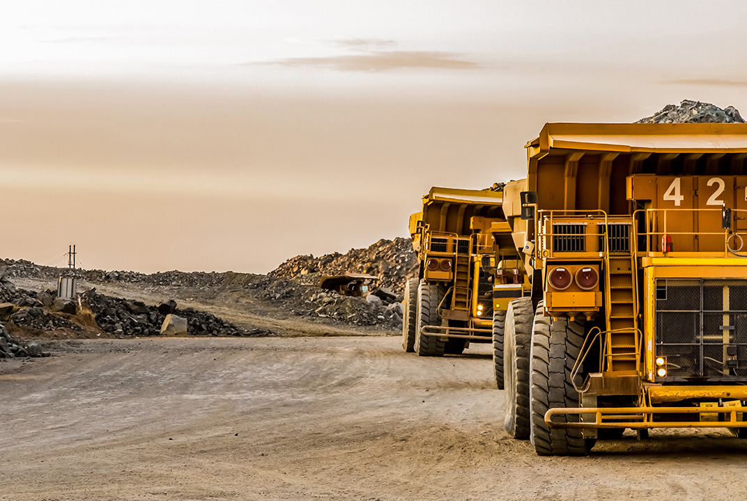
Inmarsat connectivity is helping a mining company improve road safety at the world’s largest high-grade copper mine.
Ivanhoe Mines is using machine-to-machine (M2M) service IsatData Pro (IDP) to track vehicles travelling to and from its flagship Kamoa-Kakula project in the Democratic Republic of Congo (DRC).
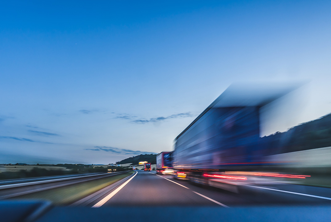
The Canadian company needed a reliable safety and security solution so it could monitor the location of 30 vehicles ferrying personnel and supplies during the project’s exploratory phase.

The poor state of many roads in the DRC posed a significant risk to drivers. Villages in the area also have to contend with an increase in traffic. IDP allows Ivanhoe Mines’ control centre to track the vehicles in real-time and includes a number of geofences set up to enforce policies introduced to improve driver and public safety and security. Reports are automated at night so that managers can cross-check inventories to see that assets are where they should be.
The company requires consistent connectivity across the entire field of operations, large areas of which are not covered by cellular networks. Inmarsat’s dual satellite-cellular tracking device and fleet management solution utilises GSM connectivity where available and then switches seamlessly to Inmarsat’s reliable L-band satellite connectivity when required.
Matthieu Bos, Vice-President, Corporate Development at Ivanhoe Mines, explained some of the measures introduced by the company: “We wanted to reduce the speed at which our drivers travel on the roads, to reduce the damage done to vehicles if they hit potholes or other obstructions, and to reduce the risk of accidents.
“Inmarsat’s solution enables us to track the speed of every vehicle every minute, and if this exceeds 80 kilometres per hour or over 30 kilometres in certain zones the office and driver are alerted and the vehicle is prompted to slow down. We can also monitor location with pinpoint accuracy, so that if a vehicle hasn’t moved in some time, we can contact the driver to establish whether they’ve had an accident or broken down.
“We now have complete confidence that we will be instantly aware of any issue with a driver or vehicle and can respond immediately to provide assistance. Additionally, we have improved relations with people from our local communities by reducing disruption as our vehicles pass through their villages.”
Read the full case study here.