Insight | Case study: Digital Frontiers: Indonesia
null
The UK Space Agency’s International Partnership Programme (IPP) is a five-year, £152 million programme designed to partner UK space expertise with governments and organisations in emerging and developing economies around the world to deliver a sustainable economic or societal benefit. All IPP projects are fully aligned to the United Nations’ (UN) Sustainable Development Goals (see relevant SDGs below).
Inmarsat has been awarded IPP funding for three projects in Nigeria, Indonesia and the Philippines which began in 2017.
The Indonesian fishing sector is a critical driver of the economy and society, supporting nearly seven million fishers and making a rapidly growing contribution to GDP. However, environmentally unsustainable fishing, including illegal and unreported fishing, is responsible for estimated economic losses of up to US$3 billion a year (source: Indonesian Ministry of Marine Affairs and Fisheries (KKP)).
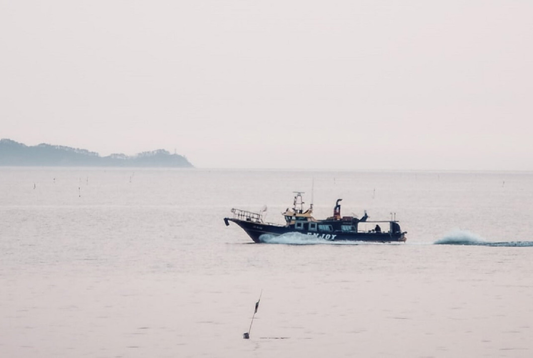
With nearly 55,000 km of coastline to patrol, it is extremely difficult and costly to control vessel movements in Indonesian waters. The Indonesia IPP project is designed to test the benefits and challenges of expanding the use of satellite-based Vessel Monitoring Systems (VMS) to fishing boats currently not required to carry them (i.e. vessels under 30 gross tonnage (GT)) to provide information on their position and activities. The overall goal is to improve the policing of illegal fishing and conservation areas and move the industry towards a more sustainable and profitable future.
One key challenge is to persuade small scale fishing operations of the additional benefits a satellite-enabled onboard system brings, in order to encourage them to install and maintain active VMS.
Inmarsat worked with a consortium of partners to develop and deliver a VMS solution to meet the requirements of the KPP and fishers:
The first VMS+ solution included a webbased application called Pointrek, based on Inmarsat’s IsatData Pro (IDP) two-way short message system using the global I-4 satellite network. This was installed on 200 vessels <30 GT for the initial pilot project, which started in July 2017, offering:
A similar pilot project for vessels >30 GT was launched in June 2018. VMS equipment is already mandatory on vessels of this size so the focus was on the other benefits of onboard communications – more efficient, competitive and safer operations. The project utilises Inmarsat’s Fleet One service, allowing simultaneous voice and IP data at up to 100 kbps with 505 Emergency Calling built-in and Wi-Fi capability to connect smart phones and tablets.
Six months into the IsatData Pro pilot, data collected from a sample of the participating vessels <30 GT showed that fishers are actively using the Pointrek system’s twoway communication capability to improve their business operations, such as locating the best fishing grounds, thereby filling up with their catch quicker and reducing the length of trips. Profits rose by 12% and crew retention rates were much better, with turnover down to less than 1%.
Safety has been improved. Four of the pilot fishing vessels transmitted SOS messages with one, Rizky Jaya 03, with six crew onboard, saved from sinking after being holed by a tanker 120 nautical miles from port. The damaged vessel sent a Mayday text message and its rescue by another fishing boat in the pilot project was coordinated via the Pointrek system.