Insight | A guide to tailings dam monitoring
null
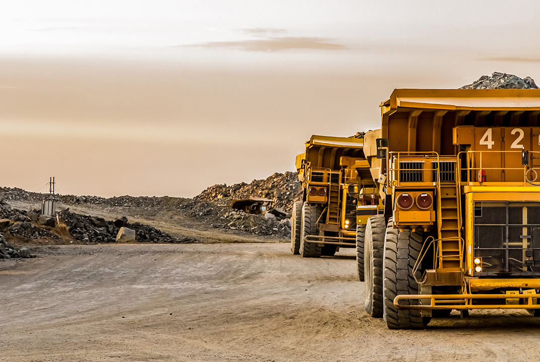
Mining organisations are hastening to implement more efficient methods of tailings dam monitoring, seeking to achieve greater visibility of conditions across their sites. This will become increasingly pressing with governments and regulators intensifying their scrutiny of the current standards.
Compliance will call for a technology-driven solution that provides the maximum amount of visibility, and being aware of the available technologies and how best to deploy them will be vital to efficient dam management in the long run.
A number of technologies are employed by mining companies as the means to take tailings monitoring to the next level, but a clear picture of their advantages and disadvantages is needed to light the way forward.
Ground Penetrating Radar is capable of monitoring and detecting movement within an embankment in real-time and triggering an alarm. It works by sending a radar pulse through the ground and measuring the time it takes to rebound, allowing an internal map of the ground to be built. The method has proven most effective when used on solid structures like cliff faces or concrete retaining walls, and because of this, the technology is not ideally suited to the dynamic structures of tailings dams that will ultimately move over time and potentially present new risks.
Unlike Ground Penetrating Radar, LiDAR uses a laser scanner to measure minute movements in the dam wall, building up a topographical model which can be compared to previous data or be programmed to scan continuously, triggering an alarm if movement is detected. LiDAR is a relatively new technology in the industry and instances of its deployment are few. The uptake of the technology will likely also be slowed by its high cost, with price tags potentially entering into the hundreds of thousands of dollars for the hardware.
It is also important to be aware that the technology’s effectiveness varies depending on the nature of the dam. In the case of a downstream tailings dam, for instance, the constant expansion of the structure may cause false positives or create erroneous data which cannot be used. LiDAR is best suited to closed sites where the dam structure is intended to be final. Due to limitations of data, power and the cost of LiDAR units, utilising it today would require very specific conditions for it to be successful.
These sensors are designed to detect activity caused by earthquakes which could potentially result in a dam failure but they also can detect blasting operations and heavy plant movements. There are also sensors using accelerometers and magnetometers to detect minute movements in the dam walls that can be set up to trigger alarms.
Seismic sensors also suffer from the downside of sometimes producing false positives, especially around active mines, where blasting is commonplace. These issues can be managed, but are worth noting as they can complicate data sets. While these sensors could be connected and engineered to provide data in real-time, it is my experience that organisations generally are still not taking this important step.
InSAR is a high powered radar which can produce a digital terrain map of the topography surrounding a dam from a satellite in orbit. This method is highly accurate and can detect sub centimetre movements in the dam walls, and over time it is possible to get an idea of movement trends and to see any potential buckling or swelling. While InSAR enables patterns and trends to be mapped overtime, data is typically collected every 8-12 days and will not show granular changes. InSAR also provides a very high level overview of movements, but not underlying causes. InSAR is best used when paired with real time monitoring which can give insight into the reasons for change.
Total station automation surveys are something which many companies do, or have considered to do. Usually this form of monitoring is used in open pits to monitor slopes looking for movement in walls. The system works by having multiple fixed survey points at known locations on a wall or dam and have one, or more, total stations set up in huts or other protected areas survey the points at the fixed interval; every 30 minutes, for example. The system then uploads this data for surveyors to compare to old scans. This system has a similar outcome to LiDAR or InSAR, in that it allows the user to see movement, but offers little in the way of insight into its causes.
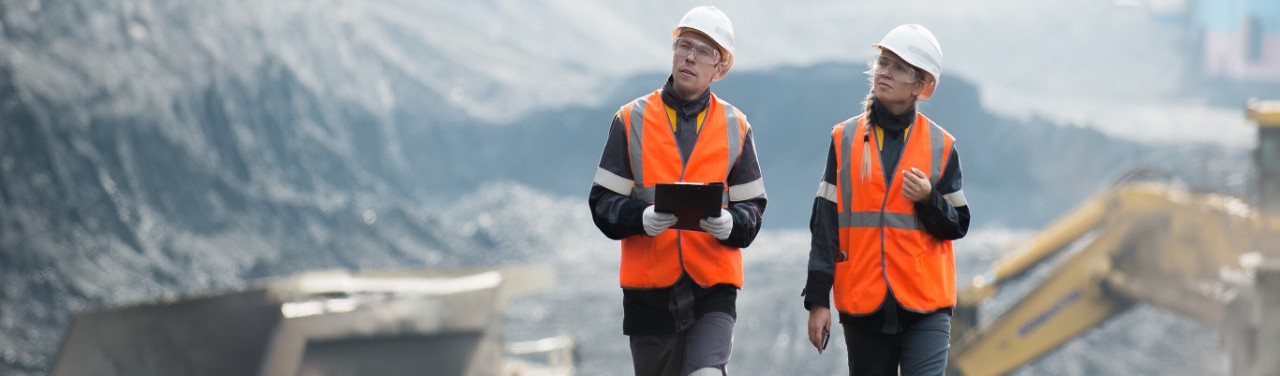
Remote, real-time instrument monitoring describes the connection of sensors such a piezometers, weather stations, ultra-sonic height sensors and phreatic board sensors, so that they produce data at very close intervals. This approach gives the fullest view of conditions on the dam site and is helpful to understand the conditions at a site over time and to be alerted to alarms indicating a change in conditions. By adding robust connectivity options such as satellite, this approach can be used at any site in the world, with all of the data aggregated on a centralised system for site-engineers, control centres, auditors and regulators to use to help improve tailings management.
Ultimately each of the above methods has its benefits and can be used in conjunction to provide a holistic view of the conditions on the dam site.
However, where real time instrument monitoring comes into its own is the ability to provide a granular view of conditions in real-time to multiple stakeholders, and to explain why something is happening rather than just highlighting the fact that something has happened. This foresight will finally take engineers from a reactive position to a proactive one, providing the insight to make decisions that lead to the safe management of tailings dams across the globe. Multiple governments and regulators are now beginning to mandate the need to move to real time monitoring, and how the industry reacts in the next few years will determine our licence to operate and ultimately show how committed as an industry we are to Zero Harm.
One final thought: it is important to consider that not all real-time monitoring solutions are created equal.
Inmarsat’s Tailings Dam Monitoring Solution is a real-time monitoring solution delivered as an end-to-end managed service for a monthly fee. This covers the connection of the sensors, ultra-reliable satellite connectivity and an interoperable dashboard application. It is completely stand-alone and simplifies the platform needed to implement real-time monitoring, and you can expect ongoing Inmarsat support via our global presence and network, wherever you are on the planet.
Speak to your auditor or get in touch to understand where real-time monitoring can help you better manage your tailings facilities.
Nicholas Prevost, Regional Director of Mining Innovation, Inmarsat Enterprise, is tasked with developing unique capabilities to improve the mining industry. As sector lead in the Australia and Pacific regions, Nick works with mining companies, integrators and technology partners to develop new systems and solutions to meet the needs of the latest generation of mines.
Nick’s experience within the mining industry includes technical roles with major mining houses including Barrick Gold, BHP, Newcrest and CMOC.