Insight | Why the first 48 hours is so critical in a disaster
Government

Disaster preparedness and relief has been a core role for Inmarsat for many years. My team used to say we’ve been at every natural disaster in the last 30 years – but in order to avoid people concluding we are the firestarters I asked them to shift to saying “we arrived shortly after every major disaster in the last 30 years”. But now I’m having to eat my words. The reason for this is that we are now supporting nations in becoming more prepared before the disaster happens. Let me give you one example.
Indonesia is the world’s fourth most populous nation, home to almost 250 million people across some 6,000 inhabited islands. The Indonesian archipelago, comprising some 17,500 islands, borders the Pacific, Eurasian and Australian tectonic plates, with 150 active volcanoes and frequent earthquakes. It is considered one of the world’s most vulnerable countries in terms of natural disasters and has experienced some of the most devastating tectonic events in recorded history, including the 2004 Indian Ocean earthquake and resulting tsunami.
For anyone familiar with these kind of disasters, you will know the biggest problem – and the point where you can make the biggest difference to saving lives – is in the first 48 hours. Smart countries – of which Indonesia and Nepal are examples – maintain emergency supplies and teams of trained specialists.
The real challenge, however, is knowing where to deploy these people and resources to greatest effect. You often hear that the biggest problem is a shortage of helicopters –because helicopters can be used to both survey the damage and transport the specialists. But helicopters are seriously expensive – a small Eurocopter EC635 retails at $15million – and incurs costs of between $450 and $1000 per hour. If you can get visual situational awareness via another method, you can make huge time and cost savings.
We worked with the Indonesian National Board for Disaster Management (known as BNPB – Badan Nasional Penanggulangan Bencana) to determine a better way of preparing for and managing the country’s disaster response.

Together with visual situational awareness specialists AnsuR, we delivered an emergency communications infrastructure which will support the country’s disaster response in the event of a natural catastrophe. Twenty regions in Indonesia will pre-deploy equipment consisting of AnsuR’s high definition, interactive image communications system – ASIGN – and BGAN terminals which will be able to access Inmarsat’s mobile satellite communications network.
In addition, the pre-emptive deployment will include two Unmanned Aerial Vehicles (UAV) with advanced cameras on-board, running ASIGN and additional BGAN satellite communications equipment on the ground.
In the event of a natural disaster, BNPB’s headquarters will have full situational awareness via this ability to receive images and videos from the site of the catastrophe even if the area’s terrestrial communications infrastructure has been disabled or destroyed. Additionally, Inmarsat’s BGAN service will ensure that first responders and those caught up in a disaster can stay in contact with the outside world via both voice and data connections.
The ASIGN system is an innovative mission critical visual communications solution, providing the most efficient interactive access to high quality photos and video content relevant for operational impact. Geo-tagged images can be sent instantly from the field to HQ via Inmarsat satellites to provide visual situational awareness, integration with maps and satellite earth observation, enable rapid analysis by experts anywhere in the world, and thus critical decisions to be made faster.
In the case of Indonesia, we are only using visual sensors. But we also have the ability using our M2M solution to put a whole series of telematics on utility infrastructure so we can tell which power stations, water pumping stations and railways are still operative. We can interlink into the SCADA controls for this critical infrastructure and provide resilient command and control to, for example close flood gates to control flooding. We can also turn our visual monitoring locations into Wi-Fi and voice hot-spots. We can interlink this to collocated GSM cells to provide emergency back-haul for emergency services, or we can create a closed web service that allows anyone with a mobile phone to access a range of reporting and assistance tools.
The total system cost to implement a system like this is less than 25 per cent of a single helicopter. Yet its impact on operational effectiveness is enormous. By augmenting the situational awareness of the response teams with remote automated visual sensors, the disaster response teams will get a common operational picture. This allows them to fuse the data into information and make far better decisions about deploying their relief resources far more quickly – shifting the cost benefit curve.
The case study I just described is using our L-band BGAN technology. That will continue to be ideal for this low-cost, affordable visual situational awareness. But once you deploy a team – especially if you are deploying something large like a field hospital – you need more bandwidth. That’s where GX comes in.
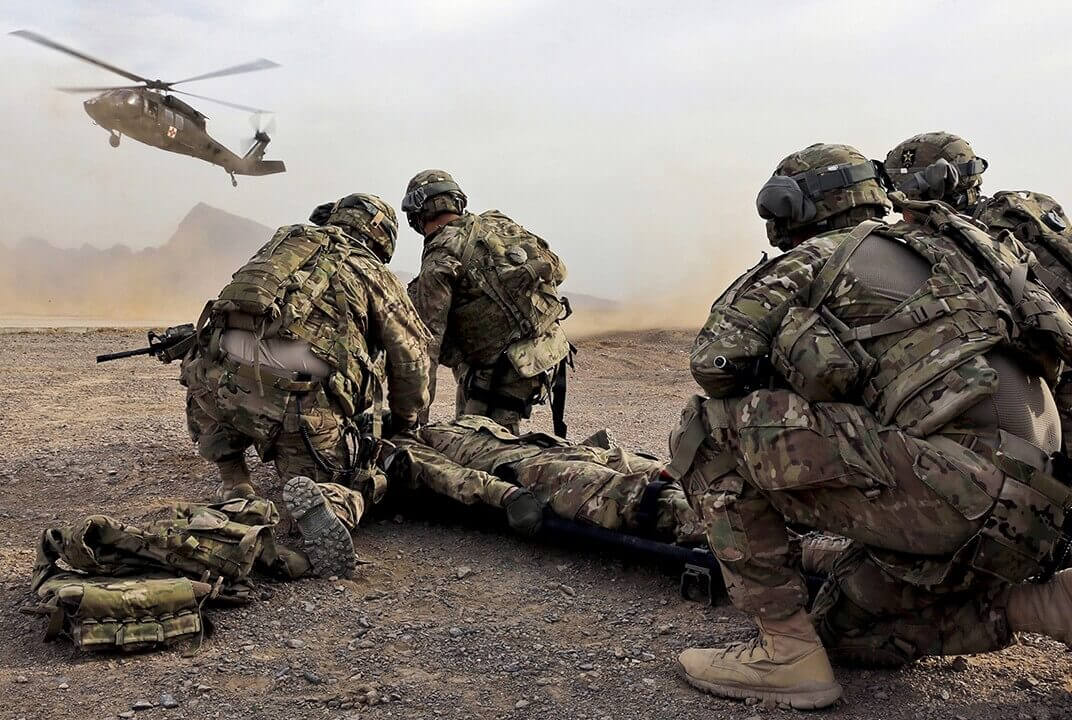
In my final blog I will look at the challenge of protecting VVIPs (very, very important persons) within the available budget.
Andy is responsible for the delivery of Inmarsat services to the military, emergency services, security service, border agencies, coastguard, and all other non-US government customers across the world. A member of Inmarsat’s Executive Committee, he runs a global team with hubs in Australia, Singapore, the Netherlands, South Africa, the UK, UAE, Canada, Washington and Miami.
Andy has an extensive experience of leading large defence businesses on an international basis. Prior to joining Inmarsat he was President of Harris Corporation’s international tactical radio business, Managing Director of BAE Systems Platform Solutions Business, and Director of EADS Astrium’s Military Space Business.