Insight | Inmarsat C ‘fundamental’ to UK Coastguard Search and Rescue
Maritime
The Maritime Coastguard Agency (MCA) is the UK national maritime authority and exists to ensure safety of life at sea and protection of the environment and, through Her Majesty’s Coastguard, provide Search and Rescue services to prevent loss of life on the UK coast and at sea. The UK SAR area of responsibility encompasses the coastal waters of the UK and Northern Ireland, and the surrounding sea areas to 30 degrees West in the Atlantic. An area of approximately 1.25 million square miles. Without a doubt, Inmarsat safety services play a fundamental part in UK maritime emergency response operations.
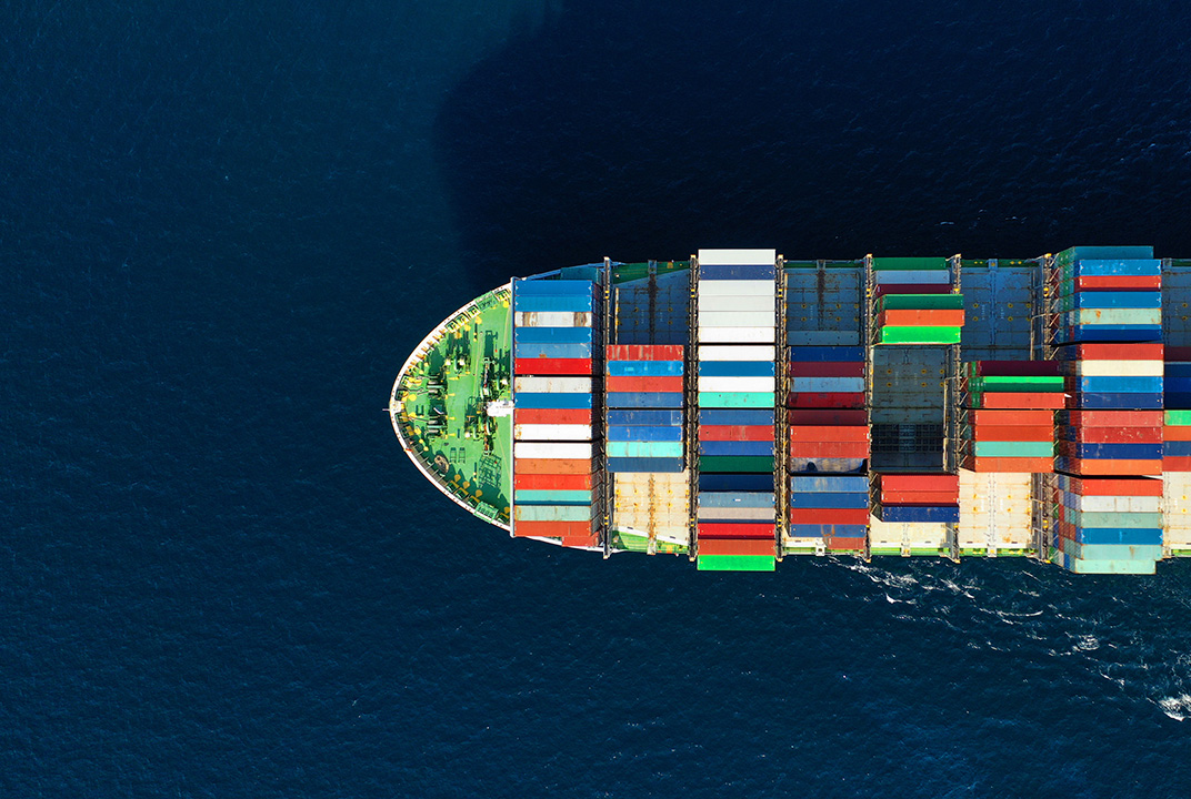
Over the past 25 years, Inmarsat C has had a huge impact on safety at sea. Inmarsat is currently the only GMDSS approved satellite system, which is a legal requirement under SOLAS (Safety of Life at Sea) regulations, for vessels sailing in Sea Area 3.
Growing awareness of satellite services means that a growing number of non-SOLAS leisure vessels also carry a satellite telephone or terminal. It provides peace of mind as well as an additional way of staying directly in touch with people ashore.
Because of Inmarsat C, vessels sailing in what is known as Sea Area A3, which is approximately 250 nautical miles or more from shore and out of range of the NAVTEX system, and VHF and MF radio, can send distress alerts to coast stations and other vessels.
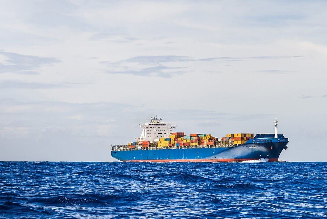
What Inmarsat C brings to search and rescue operations is speed and accuracy. Vessels in distress can send an alert quickly and Rescue Coordination Centre’s can respond rapidly. Even if all the user has time to do is push the distress button, it will automatically transmit the vessel’s details i.e. MMSI and, most importantly, its location coordinates, in almost real time.
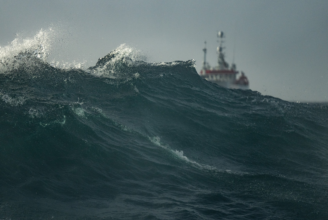
Very few Search and Rescue operations make the headlines, but a recent one that did was the evacuation of 347 passengers and crew from cruise ship Le Boréal, off the Falkland Islands last November. When a distress alert was made via Inmarsat C the UK, and other search and rescue Centres, received it. A major engine fire on board meant the vessel had no power and was drifting in gale force winds, in real danger of grounding. Thanks to that rapid alert, a major search and rescue operation was able to get underway immediately, with British forces’ helicopters, command and control aircraft and patrol vessels from the Falkland Islands quickly arriving on the scene, the best result was achieved – every person safely rescued without injury.
Having Inmarsat C on board also means that vessels can receive important voyage information, as well as sending it. The SafetyNet service means that maritime safety information – like severe weather or navigational hazard warnings – can be transmitted to specific geographical areas, as well as using it for search and rescue operations by locating and contacting vessels in the vicinity of a ship or craft in distress.
Inmarsat C has been doing the job for 25 years now, and clearly it works very well and will undoubtedly carry on doing so. I’m sure Inmarsat will keep up with changing technology, as it has always done, and continue to keep all those at sea in reach of help when they need it.
Mark Lawson is the Search and Rescue Communications Manager for HM Coastguard – part of the UK Maritime and Coastguard Agency. In this role he is lead officer for all operational communications matters related to search and rescue (SAR).
Prior to this role, Mark spent 15 years in the police.